


County Commissioners and Tax Assessors Joint Meeting
News December 5, 2011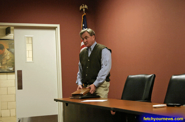
The called meeting between the Pickens County Commissioners and the Board of Assessors was held on Friday, December 2 in Room 168 at the Pickens County Administrative Offices. The meeting was called so that the commissioner’s office could ask the board of assessors for permission to research and find a viable way to isolate one field within their database that can only be changed by one person. “The planning commission and the commissioners office would like to use the database that is owned and controlled by the Board of Assessors to accurately develop a land use map, but in doing so, the Planning Commission and their offices need to be the ones who are in control of what it is that generates that map which is that one field in that database as I see it,” Pickens County Attorney Phillip Landrum said.
 The Planning Commission was using the data to help them generate a land use map. Landrum also stated that their plans are to set “the access rights in the computer to where the field that changes the land use classification is only controlled by the Pickens County Land development office.” He added that “Nobody in the land development office or planning commission has any authority or any ability to change any of the other information in that database.” The field is one that specifies what the land use classification is. This field “is not necessarily important to the board of assessors because they are looking at assessed value and those kinds of issues. But it is incredibly important to the planning commission.” The designated person who would change the field within the planning commission is Joey Low, Director of Planning and Development. The question was raised whether it is possible to isolate one field within the database that can only be controlled by one person. The need to do more research about this to see if is even possible was a concern amongst the group; Landrum suggested that the Boards consult computer professionals to see how the idea of isolating a field in the database to make it accessible by one person may be accomplished.

Although questions were raised by the joint departments concerning Department of Revenue regulations and that this agency designed the form that is currently in use by the Commissioners and Assessors, Landrum reiterated the fact that he was only asking for was “the sharing of information” and the information that is supplied to the planning office to develop their land use map is controlled by the land use office.
The software accessibility was brought into question after a Chief Appraiser went into the computer system and changed the classification in the field without notifying homeowners. Landrum stated that the Commissioners and Assessors did not want the same thing to happen again.
The motion was made and approved by the joint group to continue to look into software that can be shared between the Commissioners and the Assessors.